
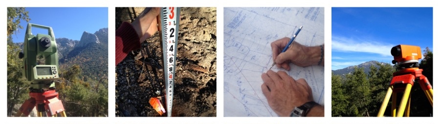
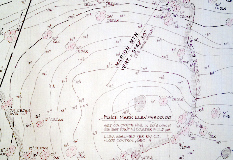
Topographic surveys are a graphic representation of the physical features of a parcel of land. Both natural and man-made features such as buildings, utilities, streams, trees, fences, elevations and contours are typically shown.
Many times a topographical survey is very helpful on a challenging building site. The site might be limited by extreme terrain such as steep slopes, by existing features or adjacent structures. A precise topographical map based off of a survey will insure the designed improvements will fit on the site within existing limitations.
Design Engineers and Architects use a topographical survey as the beginning surface of their design. Having this original surface allows the Engineer to calculate the amount of earthwork that will be needed to bring the site to the final grade. The Engineer can also balance the earthwork so that dirt need not be taken off the site or brought onto the site.
Looking for a competitive bid on your project? Please contact our office:
Cell Phone: (951) 852-7035
Email: Lee@idylarn.com